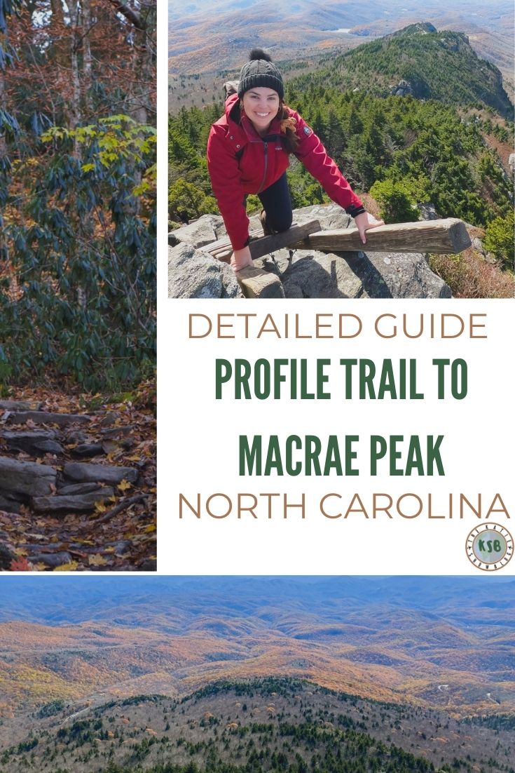
Are you ready for a hiking challenge? Here’s my favorite hike in North Carolina so far. This hike has it all. It’s a full day adventure with enough challenges to keep it interesting, incredible views, and cliffside ladders that make for an epic photo. Here’s my full guide on how to hike Profile Trail to MacRae Peak. If you have any questions let me know, otherwise I hope it helps you plan your day out!
How To Hike Profile Trail To MacRae Peak On Grandfather Mountain
Disclaimer
As an Amazon Associate, I earn from qualifying purchases. I am also an affiliate with GoPro and Booking.com.
FAQ for hiking to MacRae Peak via Profile Trail
Where is it located?
Grandfather Mountain, about 4 hours from Fayetteville.
What skill level is required?
Intermediate – more details in this guide.
How long does it take?
About 8-9 hours depending on your pace.
What type of trail is it?
Point to point on a variety of terrain.
Is it kid friendly?
If you’re doing the entire thing, it’s not the most kid-friendly trail. But, you know your kids way better than I do, so use this guide and your best judgment to decide what’s best for you.
Is it dog friendly?
I don’t think this is a good trail for dogs because of the altitude. That’s just my opinion though. Keep in mind that if you take a dog, you’ll have to carry it on the ladders.
What should you bring with you?
- Sun protection
- Lunch and/or snacks – I packed sandwiches, dried fruit and I always have a few of these energy gels with me
- Water
- Comfortable hiking shoes
- Adventure camera – I always use this one with this compact selfie stick and tripod
What to wear?
The elevation gain of this hike means you have one temperature when you start the hike and a different one at the top. Layers are key!
Check the weather (at bottom AND top of the mountain) before you go so you can prepare for the elements.
This is what I wore to hike it at the end of fall:
- Merino wool underlayer (something that wicks away sweat is important to keep you dry and warm – wool is great for this)
- Long sleeve shirt (just a cute flannel from Walmart)
- Windbreaker jacket
- Leggings
- Wool Socks
- Beanie and gloves

An important thing to know about this hike
Before we start, I just want to share that this is only one way to spend a day hiking at Grandfather Mountain. There are a lot of options though – you could do more than this, less than this, start from the opposite end, or go a different direction.
I’m just sharing tips for the sequence of trails I did, but keep in mind you can customize your adventure day.
Here’s the full map which I recommend screenshooting before you go.
How to get there and parking information
You can use “Profile Trailhead” in Google Maps to get to the parking area. There are two listed, it’s the one across from the Pedalin’ Pig. GPS coordinates: 36.1197, -81.8350.
There’s a large parking area and building with restrooms. At the building, you can also sign in for the hike.

Large parking area
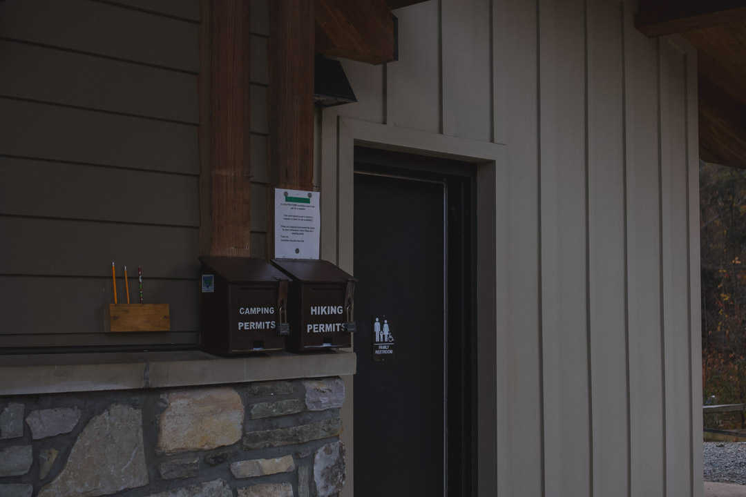
Fill out your permit and drop it in the box here
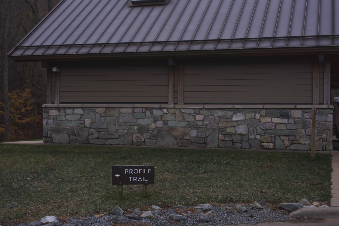
Then follow the signs to the start of the trail
There are trail markings and signs all along the way
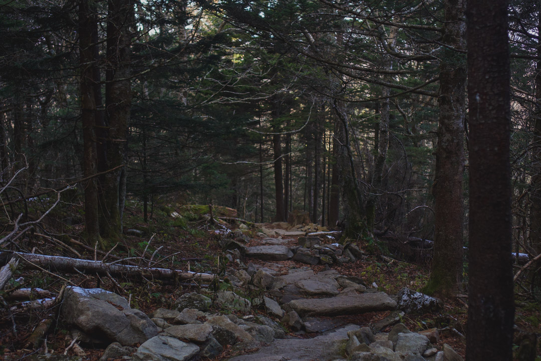
What to expect on the Profile Trail
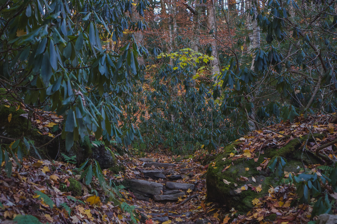
The Profile Trail is your first big test. It’s not long, only about 3 and a half miles, but the elevation gain is what will have you breathing heavy.
In terms of hiking skill, this trail is quite easy. You’re not out on ledges, climbing boulders, or technically difficult things like that.
What makes it difficult is that it’s very tiring. If you’re out of shape, this trail will rub it in your face.
The good news is that there’s plenty of room to stop and catch your breath so it’s easy to take it at your own pace.
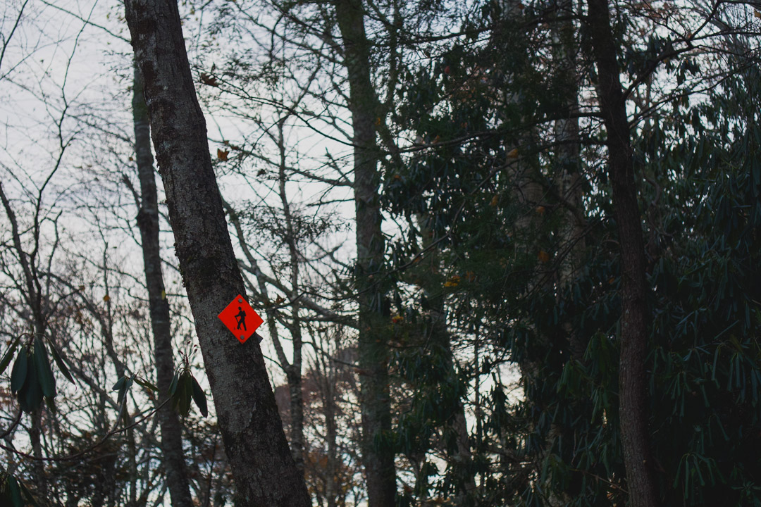
It’s also well signed, so you can follow the markings to find your way.
Profile Trail
Profile Trail
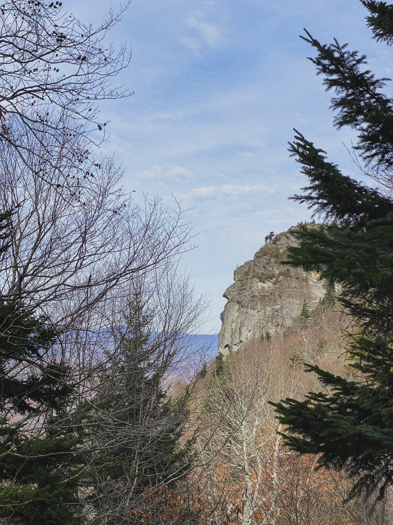
Profile View – see the man in the mountain
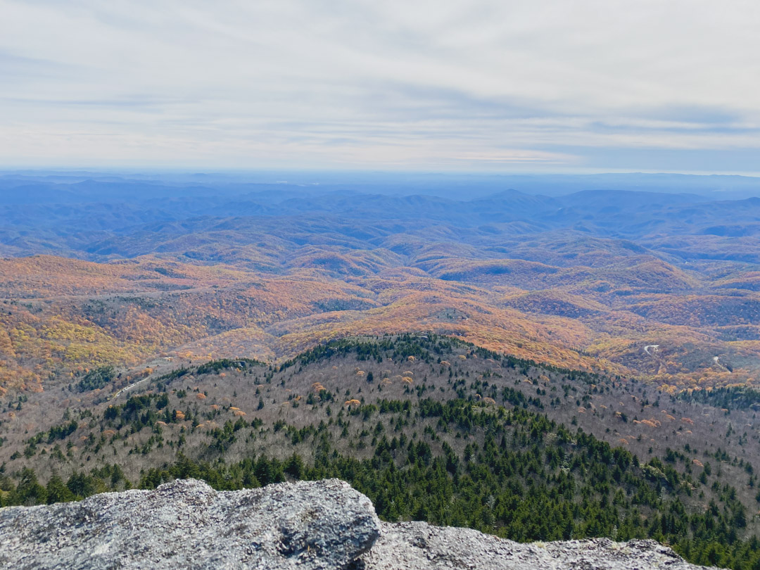
Calloway Peak
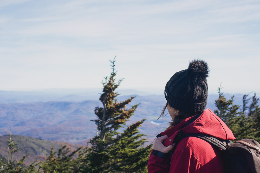
After the Profile Trail, we went to Calloway Peak and had a lunch at the top. Calloway Peak is the highest point on Grandfather Mountain and it delivers some amazing views.
On this trail there are a few ladders to climb, so this is where the day starts getting more difficult in terms of technical skill.
Towards the end of Profile Trail
Near Calloway Peak
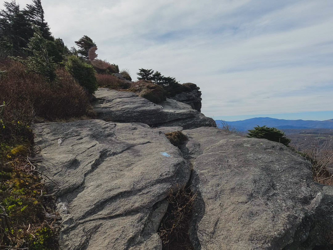
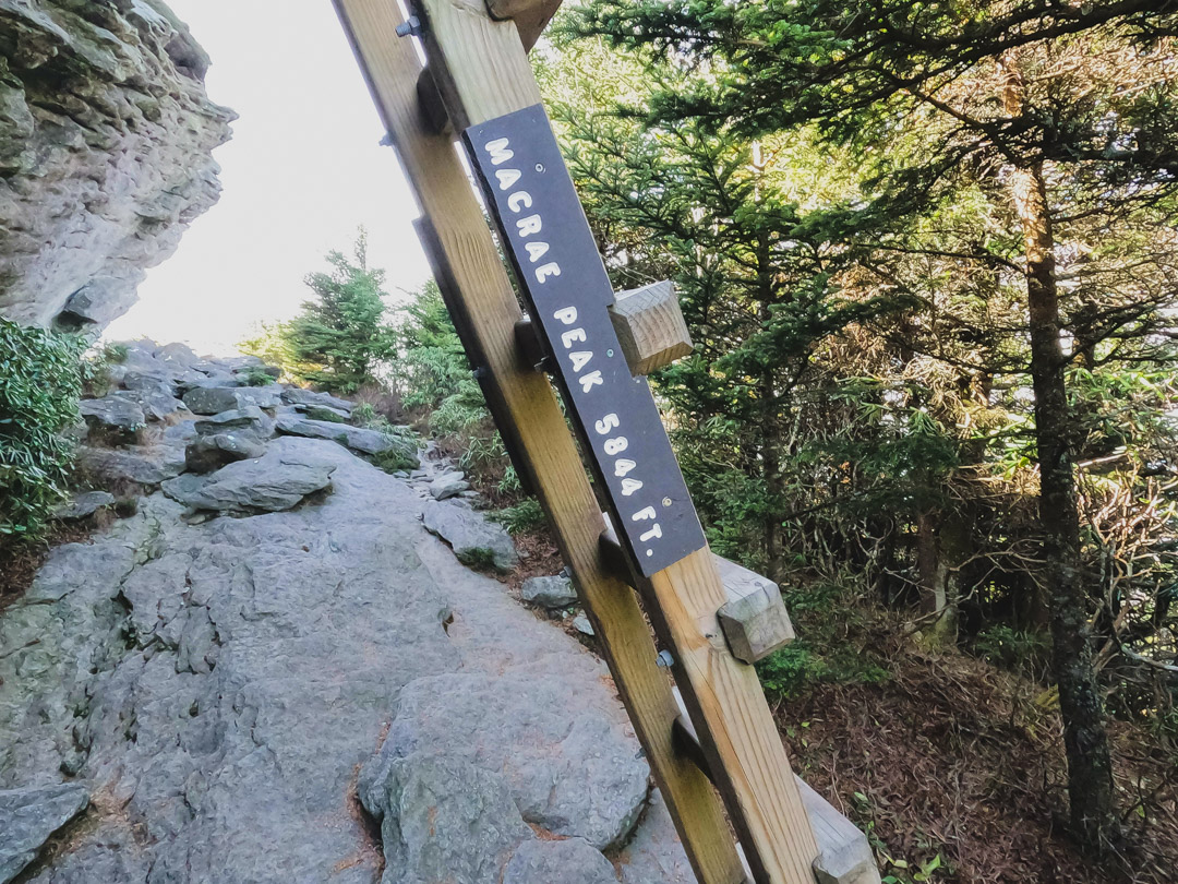
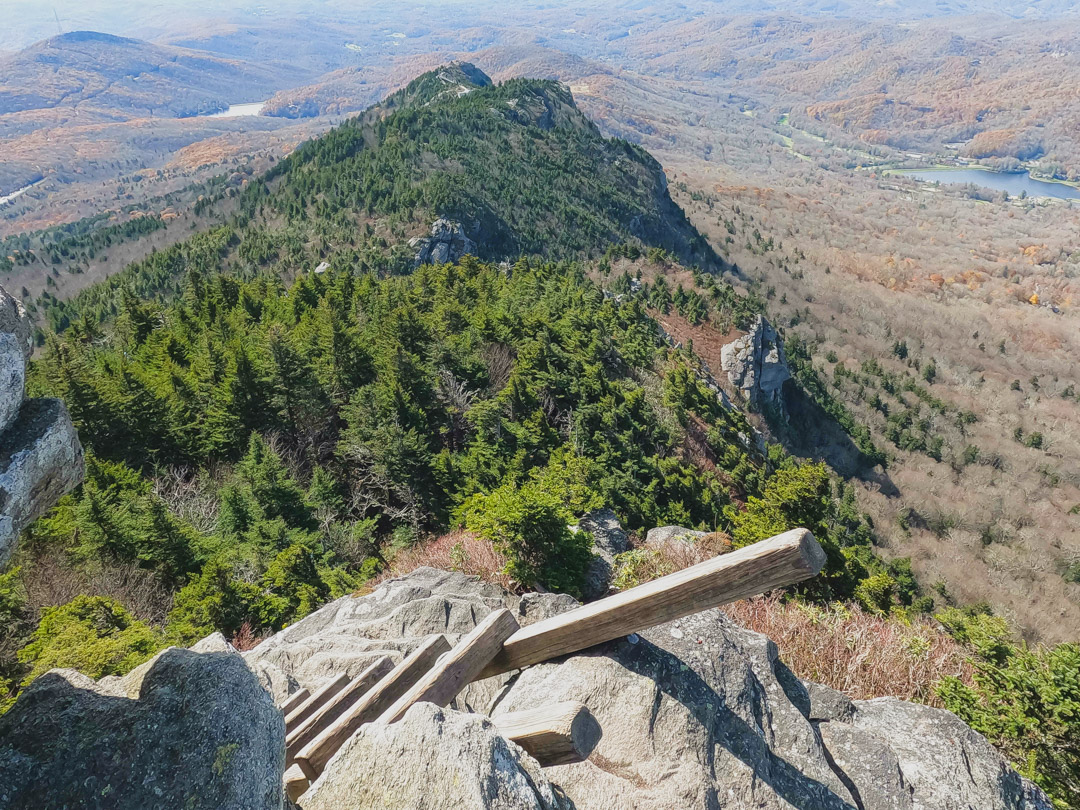
MacRae Peak
After lunch, we took Grandfather Trail back via Calloway Gap and Attic Window Peak, to the next stop which was MacRae Peak.
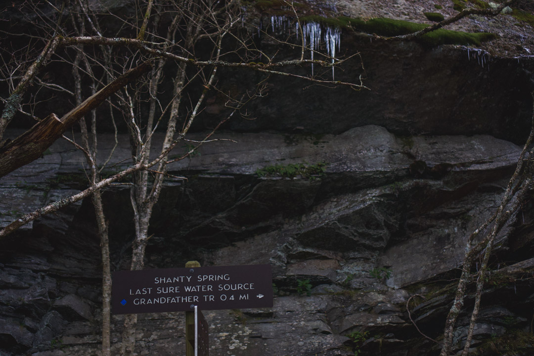
Everything is well signed with both signs and trail markings. So it’s easy to find your way and stop and the different areas along the way.
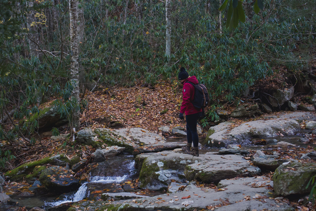
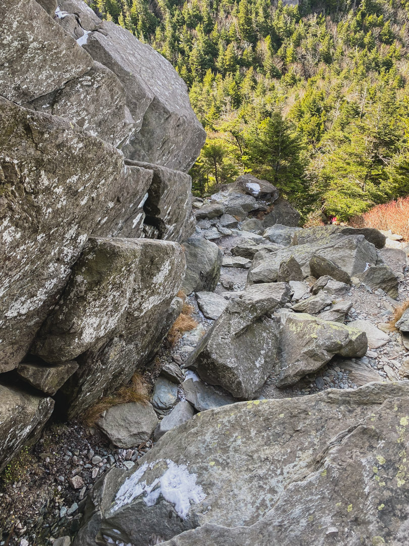
This section has some difficult areas in terms of hiking skill. There are three main areas that I think are difficult – climbing over boulders, climbing down a dry waterfall area, and the ladders around MacRae Peak.
I’ve added pictures so you can see them for yourself here.
This is the boulder area I mentioned
Dry waterfall section. It’s not too crazy (looks scarier than it is) as long as you take it slow and don’t step on ice.
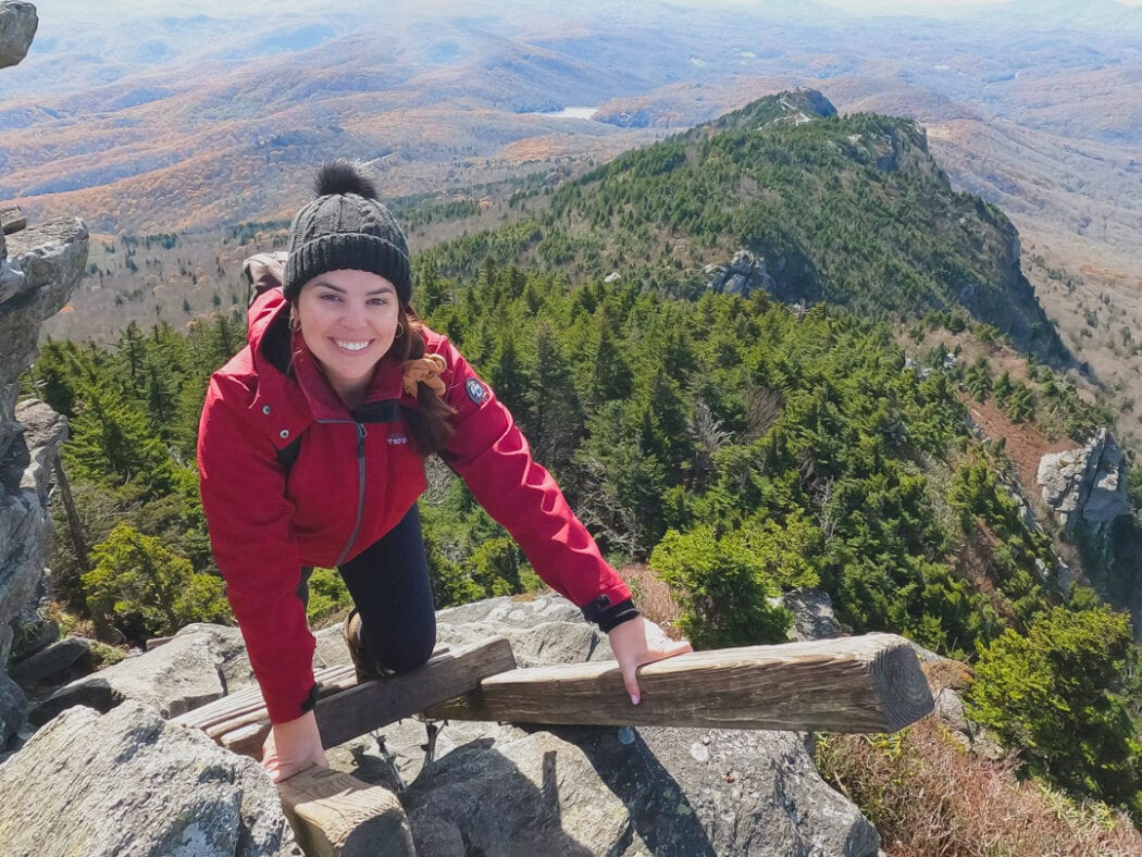
The ladder to the peak
There’s also a section close to MacRae Peak where you climb a ladder and then follow a roped section. It might not be icy when you go, but the area near the rope was iced over when I was there. If that’s the case, don’t walk on the ice! We saw a few people doing this and it’s more dangerous than climbing without the rope on the non-icy side. Here’s a photo for reference.
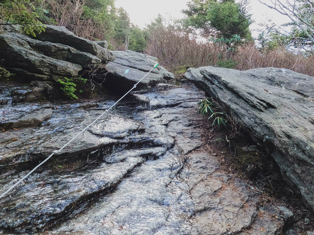
The other tricky section – if anything is icy don’t step on it (like where the rope is in this pic). It’s much safer to walk on non-slippery ground.
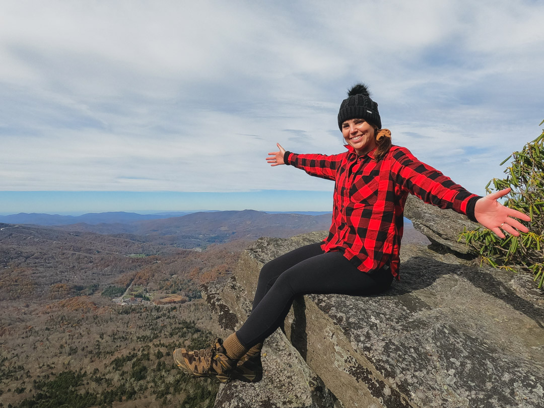
You can climb a ladder to check out the views at the top of MacRae Peak and they’re pretty awesome!
This was the most crowded area of the hike when I went. Since there’s only one way up and down the ladders, there were a few moments where we had to wait for people coming down the ladders before we could go up. A little patience goes a long way here as some people were visibly afraid of heights, so the ladders are a challenging part of the day.
After that, you can keep following the trail for a little bit and you’ll see the super photogenic ladder. It makes for an epic photo souvenir of your day.
Quick iPhone snap of the MacRae Peak views
View this post on Instagram
Swinging Bridge
I didn’t get to the Swinging Bridge because there wasn’t enough time, but if you want to go further, you can go take Profile Trail to MacRae Peak then keep going all the way to the Swinging Bridge.
Just keep following the trail after MacRae Peak.
This would be better done in the summer when the park is open longer. It’s a bit limited in the winter hours.
Where to eat afterward
I love the Pedalin’ Pig and would recommend stopping there to refuel after your hike.
The staff there are always so welcoming, the food is delicious, and it’s super convenient since it’s close to where you parked.
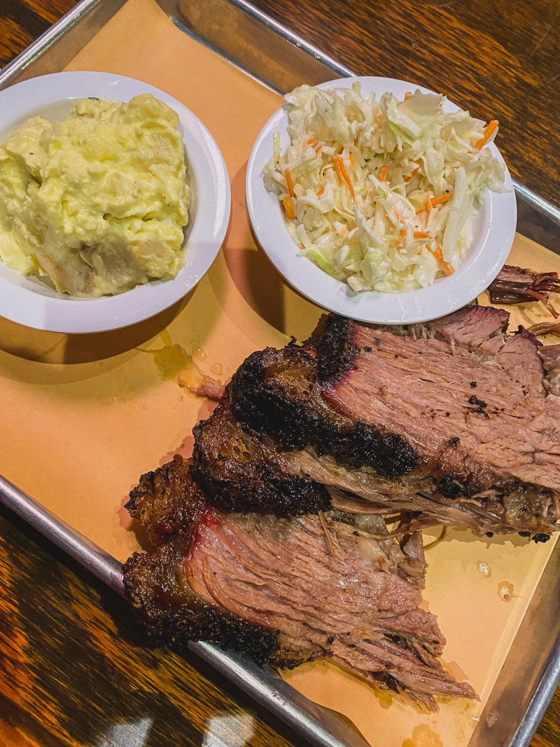
Pedalin’ Pig
Where to stay nearby
Since it is a longer drive from Fayetteville and then a long hike on top of that, it’s best to turn it into a weekend trip.
I went with my husband and we drove up after work on a Friday afternoon, did the hike on Saturday, then drove back on Sunday.
We stayed at this awesome condo on Sugar Mountain and I’d absolutely recommend it. It’s about 10 minutes from the start of the trail so it’s very easy to make the most of your day on the mountain. A bonus perk is that it had pool and sauna area in the building which is super handy after a big hike like this.
I’ve also stayed at this vacation house nearby (about 30 minutes from the start of the trail) and it was super cozy and relaxing.
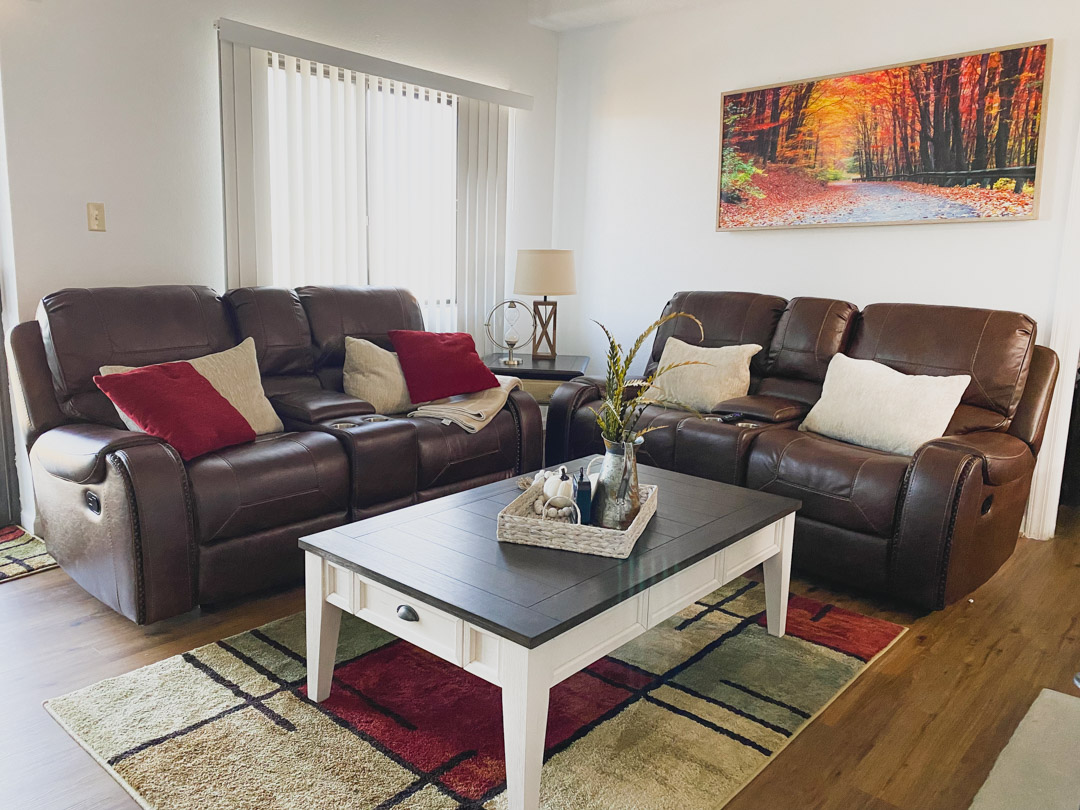
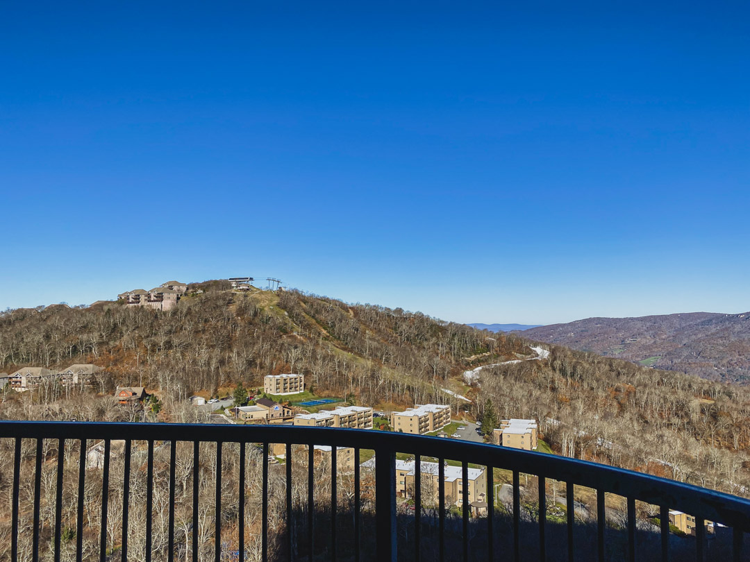
View from the apartment
Other guides you might enjoy
Your Complete Guide On How To Spend A Weekend In Maggie Valley, NC
A Detailed Guide On How To Find The Waterrock Knob Plane Crash
Where To Swim At Jordan Lake, NC – Complete Beach Hopping Guide
More information
Check out the NC Parks website
If you found this useful, return the favor by sharing it or following me on Instagram!
I love this! I adore hiking but honestly directions and guides often leave a lot to ? The photos, and your experience was extremely helpful in planning my hike thank you 😀
I love all the info you listed! My brother and myself are doing this trail for the first time coming up late September and you’ve given great advise! Thank you!
… [Trackback]
[…] Read More on on that Topic: thekatieshowblog.com/profile-trail-to-macrae-peak/ […]
… [Trackback]
[…] Info to that Topic: thekatieshowblog.com/profile-trail-to-macrae-peak/ […]
… [Trackback]
[…] Read More Info here on that Topic: thekatieshowblog.com/profile-trail-to-macrae-peak/ […]
… [Trackback]
[…] Read More on that Topic: thekatieshowblog.com/profile-trail-to-macrae-peak/ […]
… [Trackback]
[…] There you will find 50244 more Information to that Topic: thekatieshowblog.com/profile-trail-to-macrae-peak/ […]
… [Trackback]
[…] Read More here to that Topic: thekatieshowblog.com/profile-trail-to-macrae-peak/ […]
… [Trackback]
[…] Information on that Topic: thekatieshowblog.com/profile-trail-to-macrae-peak/ […]
… [Trackback]
[…] Here you can find 39251 additional Information to that Topic: thekatieshowblog.com/profile-trail-to-macrae-peak/ […]
… [Trackback]
[…] Read More Information here to that Topic: thekatieshowblog.com/profile-trail-to-macrae-peak/ […]
… [Trackback]
[…] Read More on that Topic: thekatieshowblog.com/profile-trail-to-macrae-peak/ […]
… [Trackback]
[…] Info to that Topic: thekatieshowblog.com/profile-trail-to-macrae-peak/ […]
… [Trackback]
[…] There you can find 18279 additional Information to that Topic: thekatieshowblog.com/profile-trail-to-macrae-peak/ […]
… [Trackback]
[…] Here you will find 33047 additional Information to that Topic: thekatieshowblog.com/profile-trail-to-macrae-peak/ […]
… [Trackback]
[…] Find More on that Topic: thekatieshowblog.com/profile-trail-to-macrae-peak/ […]
… [Trackback]
[…] Read More to that Topic: thekatieshowblog.com/profile-trail-to-macrae-peak/ […]
… [Trackback]
[…] Find More here to that Topic: thekatieshowblog.com/profile-trail-to-macrae-peak/ […]
… [Trackback]
[…] Read More to that Topic: thekatieshowblog.com/profile-trail-to-macrae-peak/ […]
… [Trackback]
[…] Find More on that Topic: thekatieshowblog.com/profile-trail-to-macrae-peak/ […]
… [Trackback]
[…] Info on that Topic: thekatieshowblog.com/profile-trail-to-macrae-peak/ […]
… [Trackback]
[…] Information to that Topic: thekatieshowblog.com/profile-trail-to-macrae-peak/ […]
… [Trackback]
[…] Read More Information here to that Topic: thekatieshowblog.com/profile-trail-to-macrae-peak/ […]
… [Trackback]
[…] There you can find 18001 more Information on that Topic: thekatieshowblog.com/profile-trail-to-macrae-peak/ […]
… [Trackback]
[…] Find More on that Topic: thekatieshowblog.com/profile-trail-to-macrae-peak/ […]
… [Trackback]
[…] Read More here on that Topic: thekatieshowblog.com/profile-trail-to-macrae-peak/ […]